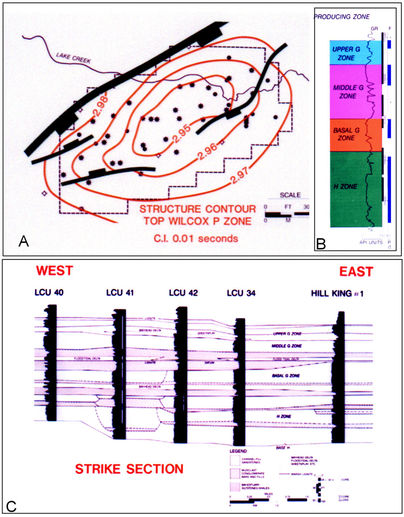
Figure 10. A) Lake Creek structure map, top of Wilcox P zone; B) Well-log showing thick sandstones of the overlying G and H zones; C) Lateral continuity of braided fluvial channels and incised valley-fills in the G and H zones. Modified from Snedden et al. (1996b) and Bebout et al. (1982).